Revitalising the
North Somerset Moors
North Somerset Moors
Below is a video which covers all aspects of how to use the Water Level Visualiser. If you have not used the tool before we recommend you watch the video first:
Note: When playing the video, ensure the sound is enabled so you can here the voiceover.
North Somerset Council has developed the Water Level Visualiser to help people better understand how water is managed across the North Somerset Moors.
The tool has been created by North Somerset Council and partners to:
The tool is designed to be clear and easy to use, even if you do not have technical knowledge.
It is an educational and decision-support tool - not a detailed engineering design system.
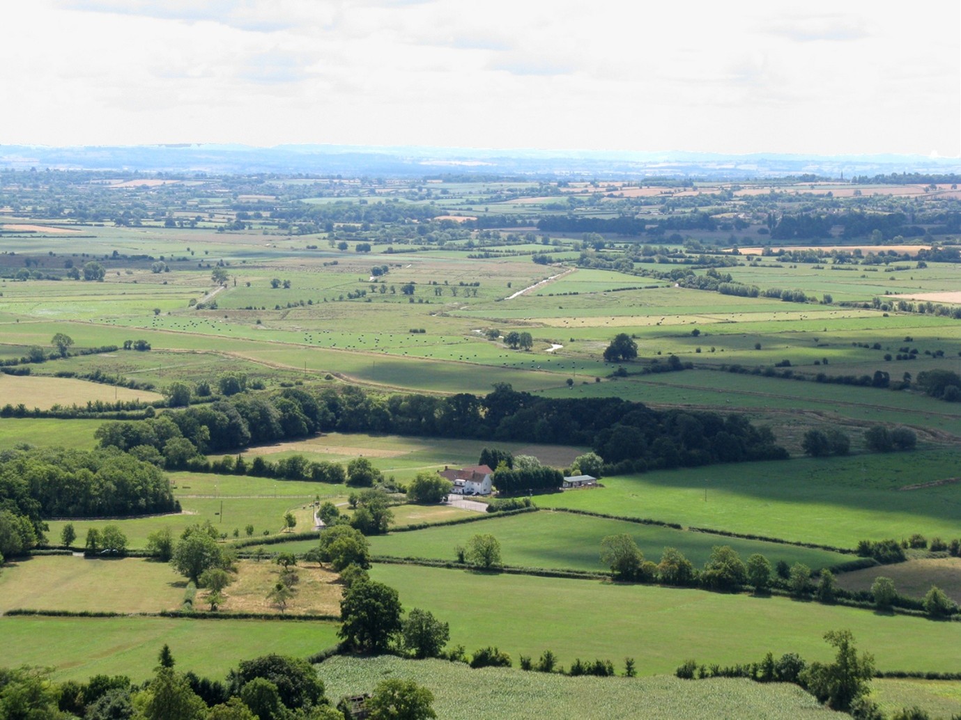
Image credit: Environment Agency
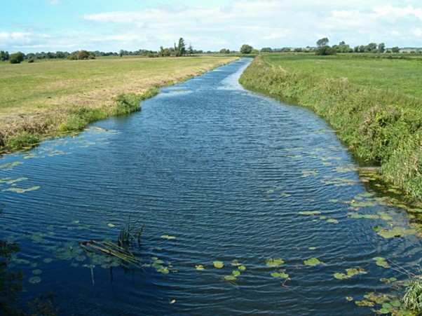
Image credit: Environment Agency
The North Somerset Moors are low-lying coastal plains made up of:
Much of this land lies at or below sea level.
Historically, this area was tidal marsh and wetland. Over hundreds of years, embankments were built and drainage channels dug to:
Because the land does not drain naturally, water must be actively managed through a controlled drainage network.
Water management aims to balance:
Management involves several organisations, including:
There are two Scales of Drainage:
Water levels are intentionally managed differently throughout the year to balance flood risk, agriculture, and habitat needs.
This seasonal management is deliberate and carefully controlled by the Environment Agency and Internal Drainage Boards and other responsible organisations, to balance land use, flood risk, and environmental protection.
The tool allows users to explore how different structures influence water levels.

Image credit: Environment Agency
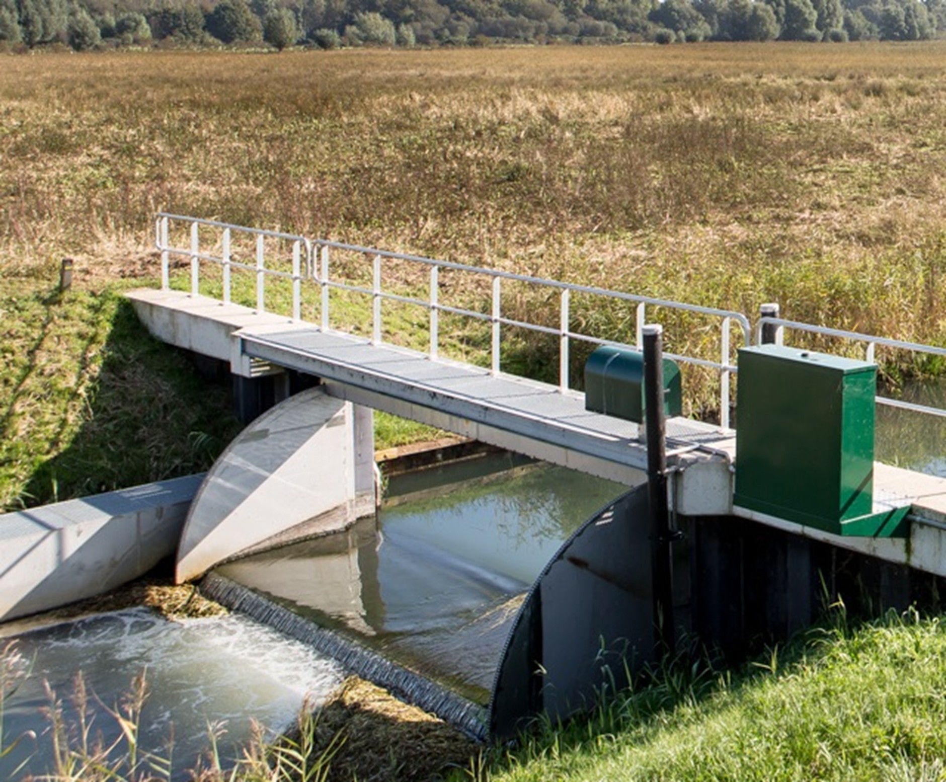
Image credit: Environment Agency
A tilting weir is an adjustable barrier placed across a drain.
When raised, water backs up. When lowered, water flows more freely.
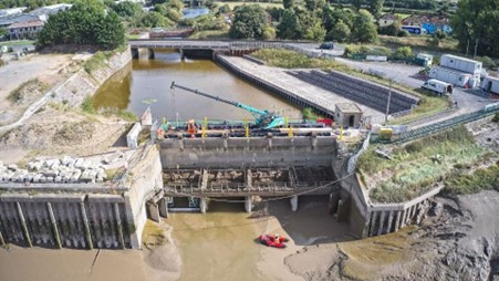
Image credit: Environment Agency
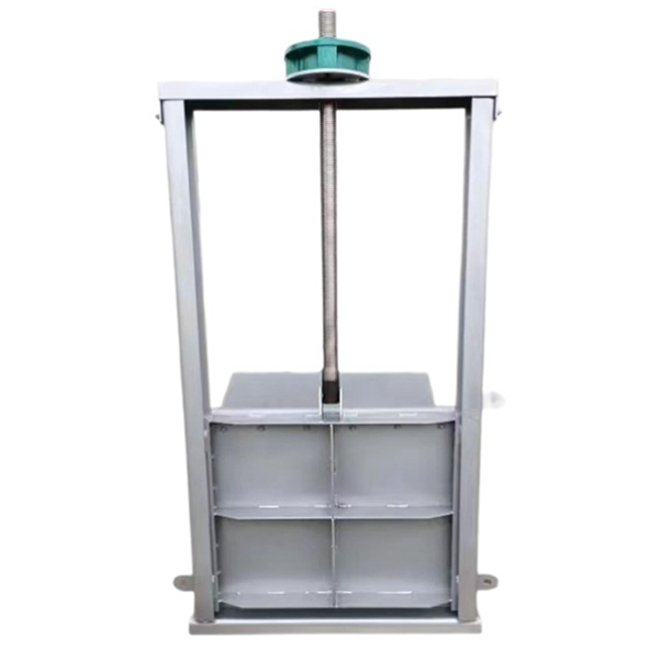
Image credit: Environment Agency
A sluice gate is a vertical gate that can be opened or closed.
Other structures you may see include flap valves, culverts, fixed weirs, and pumping stations.
The Moors are particularly sensitive to climate change.
Future pressures may include:
The work behind this tool helps explore how the system might respond to these changes.
The tool uses the following datasets:
The tool is based on modelled data - not real-time measurements.
It provides informed estimates of likely behaviour, not exact predictions.
Limitations include:
It is suitable for understanding trends and relative change - not for precise engineering calculations.
It is particularly useful for farmers, councillors, community groups, and students.
Professional advice should always be sought before undertaking physical works.
Different organisations have different roles:
Water management is shared and collaborative.
Feedback or data concerns can be directed to: info@livingmoors.org
Why does my field appear wet?
It may reflect a winter management scenario or a higher
penning level.
Why doesn't the tool match what I see today?
The tool shows modelled scenarios, not live conditions.
Can I request a change to water levels?
Water levels are managed by responsible authorities. The
tool does not control structures.
Can I use this for funding applications?
It may support understanding, but professional surveys are
required for formal applications.
This tool is provided for educational and informational purposes only.
While every effort has been made to ensure accuracy:
North Somerset Council and its partners accept no liability for:
Users are responsible for seeking appropriate professional advice before undertaking physical works.
This tool will continue to evolve as:
We welcome constructive feedback to improve clarity, accessibility, and usefulness.
The software for this tool was developed by Riskaware. If you would like to know more about what Riskaware do, and the products and services they offer please visit their website - www.riskaware.co.uk.
Lowland Agricultural Peat Water Discovery Pilot (LAPWDP)
The LAPWDP is part of the UK government's Lowland agricultural peat: water for peat pilots initiative aimed at improving how water is managed on lowland peat soils in England. These peatlands have been heavily drained for agriculture, which leads to soil loss and the release of stored carbon; the pilots are designed to help address this by exploring better water level management and rewetting approaches.
Under LAPWDP, 13 locally led projects receive funding to work in partnership on understanding the technical, economic and practical aspects of raising and managing water levels to support peat restoration, maintain productive farmland, and inform future policy. These projects include studies of soil hydraulics, water dynamics, economic assessments of land use change, feasibility work on wetter farming, and development of costed water management plans for specific landscapes. The Environment Agency is delivering the pilot, with total funding of around £3.1 million.
In essence, LAPWDP's aim is to build the evidence base and local collaboration needed to sustainably manage water on lowland peat soils so peat can be better preserved and rewetted while supporting agricultural use.